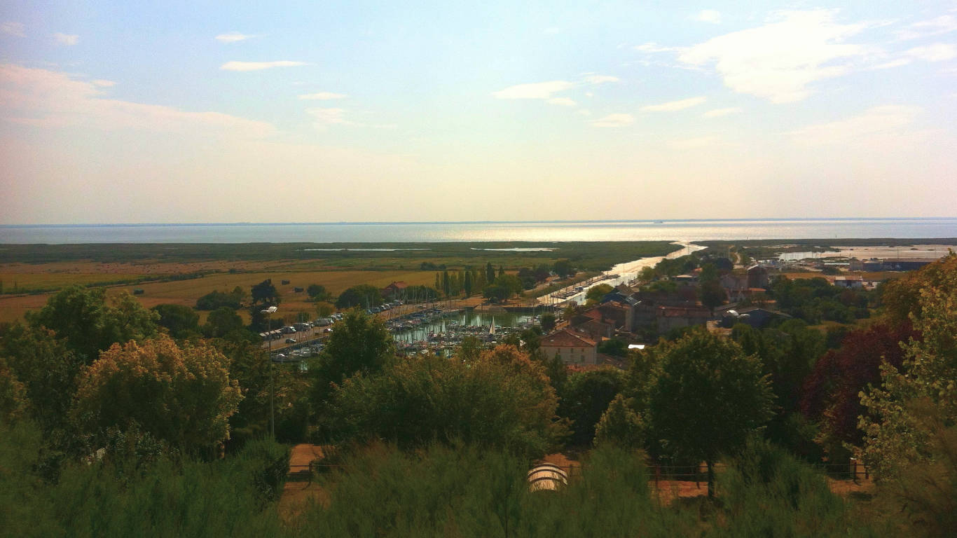

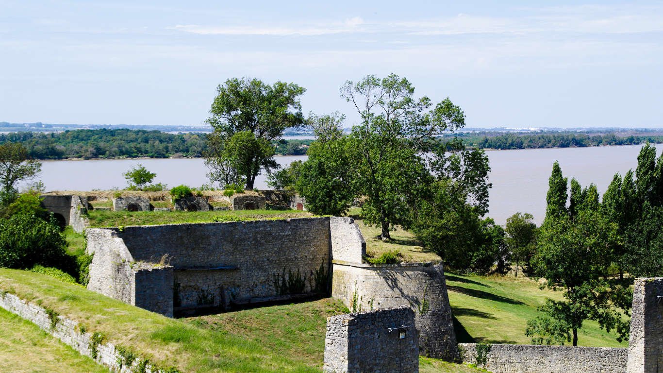
The Gironde Estuary, formed where the rivers Dordogne and Garonne meet, is 75 km long and with a total surface area of 635 km is the largest estuary of its kind in western Europe. Within the estuary are a number of islands, the most well-known being Île Paté on which is a 17th fort. It, along with two other defensive structures by Vauban including the Blaye citadel, formed the protective lock that guarded access to Bordeaux (unlike the citadel, this fort is not open to the public).
The estuary is at the heart of what makes this part of the world tick – one one side are the world-famous vineyards of Château Margaux and Château Lafite-Rothschild. On the other, the UNESCO-listed citadel town of Blaye and at the tip, where the estuary splits, the magnificent city of Bordeaux and the UNESCO town of Saint-Emilion.
Read more